


09 Aug Bilaspur-Manali-Leh Rail Line: 60 Tunnels & Survey Progress for UPSC
✎ The Bilaspur-Manali-Leh Railway Line exemplifies India’s strategic infrastructure push in the Himalayas, combining geotechnical innovation, environmental sustainability, and defence imperatives to ensure year-round connectivity…
Subject Relevance — Where This Topic Fits
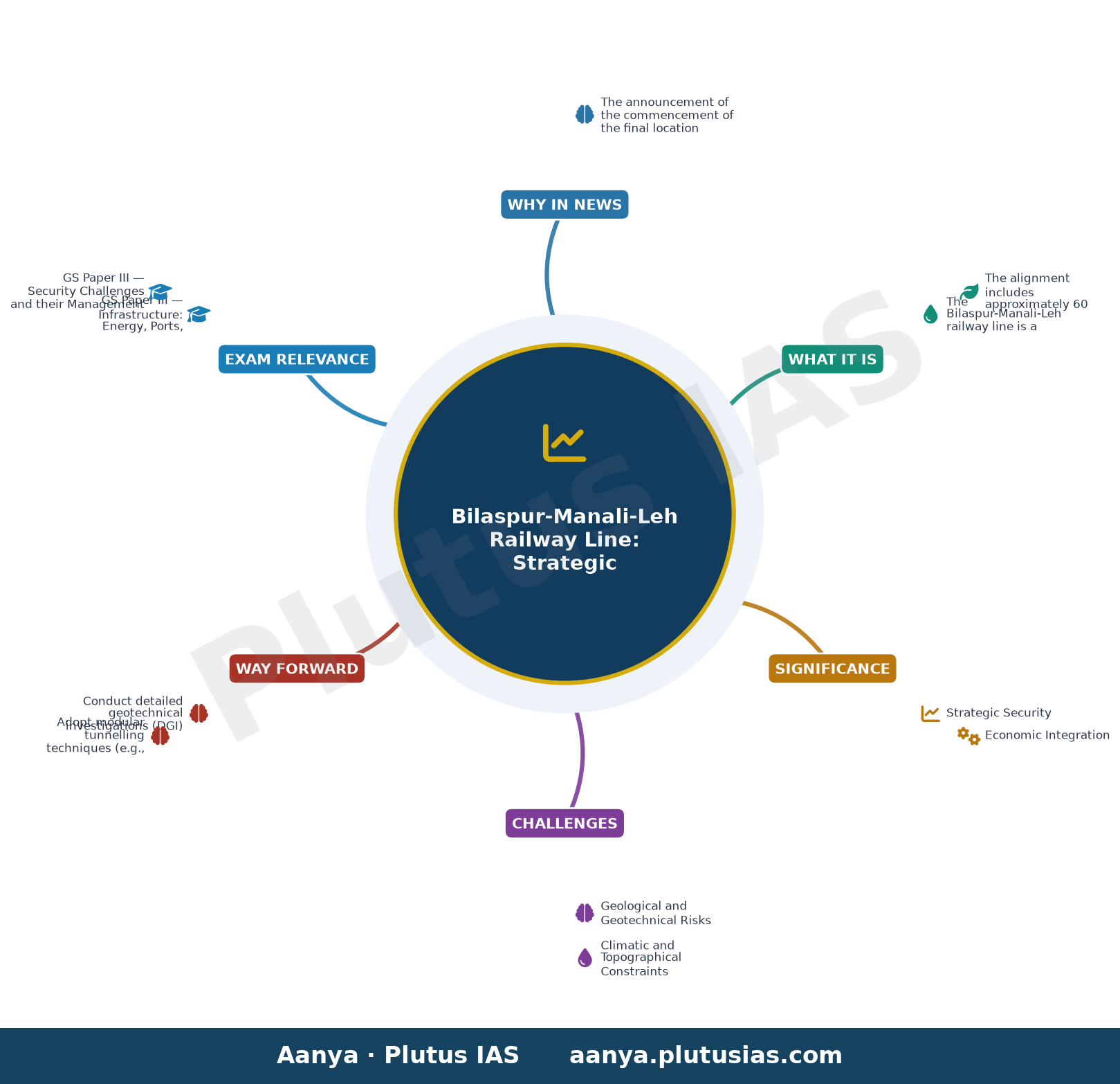
- GS Paper III — Infrastructure: Energy, Ports, Roads, Airports, Railways and Bridges | GS Paper III — Security Challenges and their Management in Border Areas
- Prelims: Bilaspur-Manali-Leh Railway Line, Border Area Development Programme, Himalayan Tunnelling Technology, Strategic Railway Projects in India, Geological Survey of India, Border Roads Organisation, Project Himank
- Essay: India’s Strategic Infrastructure: Balancing Development and Security, The Himalayas as a Frontier: Geopolitics, Ecology and Connectivity
Quick Revision: The Bilaspur-Manali-Leh Railway Line exemplifies India’s strategic infrastructure push in the Himalayas, combining geotechnical innovation, environmental sustainability, and defence imperatives to ensure year-round connectivity to Ladakh.
Why is this in the news?
The announcement of the commencement of the final location survey for the 475 km Bilaspur-Manali-Leh broad-gauge railway line, which will traverse 60 tunnels, underscores India’s commitment to enhancing strategic connectivity in the Himalayan region. This project, critical for year-round military mobility and socio-economic integration of Ladakh, reflects the convergence of defence imperatives, geotechnical innovation, and environmental sustainability in high-altitude infrastructure development.
Background
- The Himalayas serve as a natural barrier and a strategic frontier, necessitating robust infrastructure to ensure seamless military logistics and civilian access.
- India’s northern borders, particularly in Ladakh, have witnessed heightened geopolitical tensions, necessitating rapid troop and equipment deployment capabilities.
- The project aligns with the broader vision of the ‘Strategic Railway Projects’ under the Ministry of Railways, aimed at connecting remote border regions.
- Environmental concerns, including permafrost degradation, landslides, and avalanche risks, demand meticulous geological and hydrological assessments.
What is the Bilaspur-Manali-Leh Railway Line?
- The Bilaspur-Manali-Leh railway line is a proposed 475 km broad-gauge railway project connecting Bilaspur (Himachal Pradesh) to Leh (Ladakh), traversing some of the most rugged and ecologically sensitive terrain in the Himalayas.
- The alignment includes approximately 60 tunnels, with the longest expected to exceed 10 km, and numerous bridges, including high-altitude viaducts, to navigate steep gradients and avoid ecological disruption.
- The project aims to provide all-weather connectivity to Ladakh, reducing dependence on air and road transport for both civilian and military logistics.
- The railway line will integrate with the existing Indian Railways network at Bilaspur, facilitating seamless movement of goods and passengers to and from the rest of India.
- Environmental safeguards, such as avoiding excessive blasting and preserving water sources, are integral to the design, aligning with India’s commitments under the Paris Agreement and national environmental policies.
- The railway line is expected to boost tourism, trade, and socio-economic development in Himachal Pradesh and Ladakh, while also enhancing India’s strategic posture in the region.
Key Features
| Feature | Significance |
|---|---|
| Proposed Bilaspur–Manali–Leh Broad-gauge Railway Line (475 km) | Strategic rail connectivity to Ladakh and Himachal Pradesh, enhancing all-weather access and reducing dependence on road networks. |
| Approximately 60 tunnels | Facilitates alignment through rugged Himalayan terrain, minimising environmental degradation and ensuring year-round operational reliability despite snowfall and landslides. |
| Final Location Survey (FLS) by private agency | Comprehensive geological, geotechnical, and alignment studies for tunnel design, bridge locations, and gradient optimisation. |
| Survey segment: Salapar to Sarchu (40-day target) | Critical phase covering high-altitude sections; weather-dependent timeline due to Himalayan conditions. |
| Adoption of Uttarakhand mountain railway techniques | Leverages proven tunnelling and alignment strategies from projects like the Kalka–Shimla and Kangra Valley Railways. |
Why it Matters
Strategic Security
- Provides all-weather rail connectivity to Ladakh, reducing logistical vulnerabilities along the India–China border.
- Enhances rapid troop and equipment mobilisation for military operations in high-altitude regions.
- Complements existing road networks (e.g., Manali–Leh Highway) by offering a reliable alternative in adverse weather.
Economic Integration
- Stimulates tourism in Himachal Pradesh and Ladakh by improving accessibility to key destinations (e.g., Rohtang Pass, Leh).
- Facilitates movement of perishable agricultural and horticultural produce from Himachal’s valleys to national markets.
- Reduces transportation costs and time for goods, boosting local economies in remote districts.
Geopolitical Positioning
- Reinforces India’s infrastructure footprint in the Himalayas, countering regional connectivity initiatives by neighbouring countries.
- Demonstrates India’s commitment to developing border regions under the ‘Border Area Development Programme’ (BADP).
- Supports the ‘Act East Policy’ by strengthening linkages with Northeast states via improved northern corridors.
Environmental and Engineering Innovation
- Minimises ecological disruption through tunnelling, reducing land degradation and landslide risks.
- Incorporates modern geotechnical surveys to mitigate risks of snow avalanches and seismic activity.
- Sets a precedent for future Himalayan rail projects in terms of safety and sustainability.
Challenges
1. Geological and Geotechnical Risks
- High seismic vulnerability in the Himalayas, requiring adherence to stringent seismic design codes (e.g., IS 1893).
- Unstable rock formations and permafrost conditions may complicate tunnel construction and maintenance.
- Frequent landslides and avalanches could disrupt construction timelines and operational safety.
UPSC Link: Geography: Physiographic divisions of India; GS-III: Disaster Management
2. Climatic and Topographical Constraints
- Extreme weather conditions (sub-zero temperatures, heavy snowfall) limit construction windows to 5–6 months annually.
- Steep gradients and sharp curves necessitate advanced engineering solutions for stability and speed.
- High-altitude sickness and logistical challenges for workforce deployment.
UPSC Link: Geography: Climate of India; GS-I: Geographical features and their impact
3. Environmental and Ecological Concerns
- Potential disruption to fragile Himalayan ecosystems, including protected areas and wildlife corridors.
- Noise and vibration from tunnelling may affect local flora and fauna, requiring mitigation measures.
- Waste management and water resource conservation in sensitive catchment areas.
UPSC Link: Environment: Biodiversity and conservation; GS-III: Environmental Impact Assessment
4. Financial and Logistical Hurdles
- High capital expenditure due to tunnelling, bridge construction, and high-altitude logistics.
- Long gestation period (10+ years) may deter private investment without government guarantees.
- Coordination challenges among multiple stakeholders (Railways, State Governments, Defence).
UPSC Link: Economy: Infrastructure development; GS-III: Investment models and PPP
5. Operational and Maintenance Challenges
- Year-round snow clearance and de-icing systems required for uninterrupted rail operations.
- High maintenance costs for tunnels, bridges, and tracks in extreme conditions.
- Limited availability of skilled labour and specialised equipment for high-altitude rail maintenance.
UPSC Link: Science & Tech: Indigenous technology development; GS-III: Science and Technology in governance
Challenges — UPSC Perspective
| Issue | Concern |
|---|---|
| Seismic Activity | Risk of structural failure in tunnels and bridges due to frequent earthquakes. |
| Permafrost and Rock Stability | Thawing permafrost may destabilise tunnel foundations and tracks. |
| Avalanche-Prone Zones | Construction and operation risks in areas with high snow avalanche frequency. |
| High Altitude Sickness | Health risks for construction workers and operational staff. |
| Wildlife Corridors | Potential fragmentation of habitats for endangered species like the Snow Leopard. |
| Climate Change Impact | Increased frequency of extreme weather events affecting project timelines. |
Way Forward
- Conduct detailed geotechnical investigations (DGI) to assess rock mass quality and seismic risks along the alignment.
- Adopt modular tunnelling techniques (e.g., New Austrian Tunnelling Method) for faster and safer construction.
- Establish a dedicated high-altitude medical and emergency response system for workforce safety.
- Implement eco-friendly construction practices, including waste recycling and water conservation measures.
- Develop a phased construction plan with seasonal work windows to mitigate weather-related delays.
- Strengthen inter-ministerial coordination (Railways, Defence, Environment, State Governments) for streamlined approvals.
- Invest in indigenous R&D for specialised equipment (e.g., snow ploughs, avalanche control systems).
- Integrate the project with broader multi-modal connectivity plans (e.g., Himachal Pradesh’s ‘Green Mobility’ initiative).
UPSC Value Addition
Keywords for Mains Answer-Writing
Bilaspur-Manali-Leh Rail Line · Himalayan rail connectivity · Tunnel engineering in geologically fragile terrain · Strategic rail infrastructure · Geological survey techniques · Border area development · Disaster-resilient railway design · Himachal Pradesh geography · Strategic railway projects · Geotechnical challenges in Himalayan construction
Constitutional & Policy Linkages
- {‘Article 370 (repealed)’: ‘Historical context of Ladakh’s integration and infrastructure development.’}
- {‘Article 371’: ‘Special provisions for Himachal Pradesh, including development of border areas.’}
Concept Flow
Himalayan terrain and strategic imperatives → Need for all-weather rail connectivity → Proposal for Bilaspur–Manali–Leh line → Adoption of tunnelling to overcome topography → Final Location Survey (FLS) for alignment and design → Geological and geotechnical studies → Construction challenges (seismic, climatic) → Operationalisation with safety and maintenance protocols → Socio-economic and strategic benefits.
Prelims Practice Questions
Q1. Consider the following statements regarding the proposed Bilaspur-Manali-Leh rail line:
1. The rail line will traverse approximately 475 kilometres.
2. It is expected to include around 60 tunnels to navigate the Himalayan terrain.
3. The project is being surveyed by a private company under the supervision of the Ministry of Defence.
How many of the above statements are correct?
- Only one
- Only two
- Only three
- None
Answer: Only two — Statements 1 and 2 are correct as per the project details. Statement 3 is incorrect as the survey is being conducted by a private company under the Railway Ministry, not the Ministry of Defence.
Q2. Assertion (A): The Bilaspur-Manali-Leh rail line is classified as a strategic railway project.
Reason (R): The project aims to enhance year-round connectivity to the Union Territory of Ladakh, facilitating military logistics and tourism.
Options:
A. Both A and R are true, and R is the correct explanation of A.
B. Both A and R are true, but R is not the correct explanation of A.
C. A is true but R is false.
D. A is false but R is true.
Answer: ? — The assertion is true as the project is indeed classified as strategically important. The reason correctly explains the assertion, as the project’s primary objectives include improving military logistics and boosting tourism in Ladakh.
Q3. Match the following pairs related to the Bilaspur-Manali-Leh rail line project:
Column I (Feature) | Column II (Description)
——————-|———————-
1. Number of tunnels | A. 475 kilometres
2. Total length of the rail line | B. Approximately 60
3. Survey agency | C. Private company
4. Geological challenge | D. Himalayan terrain
Options:
A. 1-B, 2-A, 3-C, 4-D
B. 1-A, 2-B, 3-D, 4-C
C. 1-C, 2-D, 3-A, 4-B
D. 1-D, 2-C, 3-B, 4-A
Answer: ? — 1-B: The number of tunnels is approximately 60. 2-A: The total length of the rail line is 475 kilometres. 3-C: The survey is being conducted by a private company. 4-D: The geological challenge is the Himalayan terrain.
Mains Practice Question
✍ The proposed Bilaspur-Manali-Leh rail line exemplifies India’s thrust towards enhancing strategic connectivity in the Himalayan region. Critically examine the geotechnical, environmental, and strategic dimensions of this project. Also, analyse how such infrastructure projects can be aligned with sustainable development goals in ecologically fragile terrains. (15 Marks)
Approach: MODEL-ANSWER SKELETON:
1. Introduction (2 marks)
– Briefly introduce the Bilaspur-Manali-Leh rail line project, its length (475 km), and the number of tunnels (~60) as a strategic infrastructure initiative.
– State the directive: critically examine geotechnical, environmental, and strategic dimensions and align with SDGs.
2. Geotechnical Challenges (3 marks)
– Discuss the Himalayan terrain’s geological fragility: high seismic activity (e.g., Himalayan Seismic Gap), landslide-prone zones, and permafrost.
– Explain tunnel engineering techniques: NATM (New Austrian Tunnelling Method), rock bolting, and drainage systems to mitigate water ingress.
– Reference the use of technologies from Uttarakhand projects (e.g., Tapovan-Vishnugad Hydroelectric Project) for tunnelling in fragile terrains.
3. Environmental Concerns (3 marks)
– Highlight the ecological sensitivity of the Himalayas: fragile ecosystems, biodiversity hotspots (e.g., Great Himalayan National Park), and glacial melt zones.
– Discuss potential impacts: deforestation, habitat fragmentation, and increased risk of landslides due to blasting and excavation.
– Mention mitigation measures: environmental impact assessments (EIAs), afforestation, and wildlife corridors.
4. Strategic Dimensions (3 marks)
– Analyse the project’s strategic importance: year-round connectivity to Ladakh, reducing dependence on air/road routes, and enhancing military logistics.
– Discuss the project’s alignment with India’s Act East Policy and border infrastructure development (e.g., Darbuk-Shyok-Daulat Beg Oldie road).
– Reference the role of the Border Roads Organisation (BRO) and the Ministry of Defence in such projects.
5. Alignment with Sustainable Development Goals (SDGs) (4 marks)
– Link the project to SDG 9 (Industry, Innovation, and Infrastructure) and SDG 11 (Sustainable Cities and Communities).
– Discuss the need for green tunnelling techniques, renewable energy use in construction, and community engagement for sustainable outcomes.
– Critique the balance between development and conservation: can such projects be truly sustainable in ecologically fragile terrains?
– Provide examples of best practices: use of recycled materials, minimising blasting, and real-time monitoring of environmental parameters.
6. Conclusion (2 marks)
– Summarise the critical examination: the project is a strategic necessity but fraught with geotechnical and environmental challenges.
– Emphasise the need for a multi-stakeholder approach involving geologists, environmentalists, local communities, and policymakers to ensure sustainable implementation.
Source: amarujala.com
Generated by AanyaAi for educational purpose.

- KWML’s Feasibility Reports for Water Metro in 18 Cities: UPSC & PCS Insights - October 3, 2026
- ओडिशा में वन्यजीव अनुसंधान अनुदान कार्यक्रम शुरू, सिमिलिपाल में 300 कैमरे और बढ़ेंगे - October 3, 2026
- India Summons Pakistan High Commission Official Over Violation - October 3, 2026

No Comments