


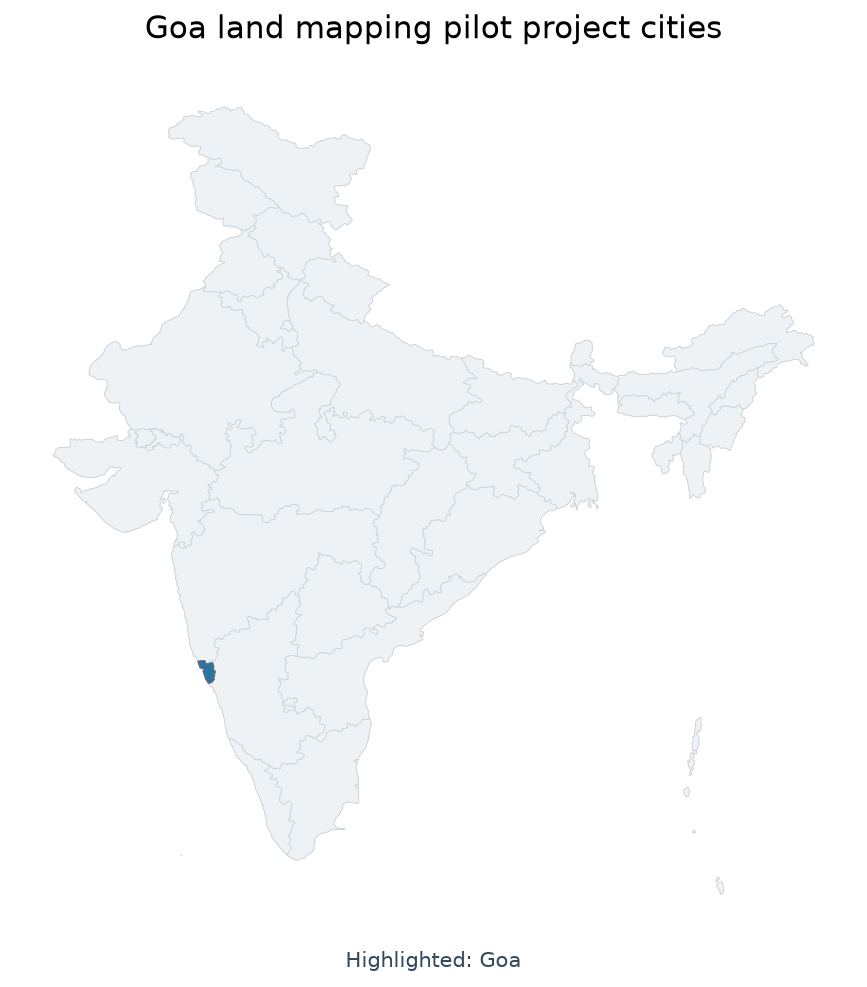
24 Jul Goa’s ‘Naksha’ Project: Digital Mapping to Secure Land Records for UPSC
Subject Relevance — Where This Topic Fits
- GS Paper II — Governance, Transparency and Digital Initiatives | GS Paper III — Land Reforms, Urban Planning and Infrastructure Development
- Prelims: Digital India Land Records Modernisation Programme (DILRMP), Geographic Information System (GIS), Drone-based mapping, Land titling, Urban local bodies, Property disputes resolution, Ground-truthing, Land records digitisation
- Essay: Digital governance as a tool for socio-economic equity, Balancing technological advancement with citizen-centric land governance
Quick Revision: NAKSHA is a GIS and drone-based urban land record digitisation pilot under DILRMP in Goa, ensuring boundary accuracy, reducing disputes, and enabling data-driven urban planning.
Why is this in the news?
The Department of Land Resources, Ministry of Rural Development, Government of India, has clarified key aspects of the NAKSHA pilot project in Goa, a flagship initiative under the Digital India Land Records Modernisation Programme (DILRMP). The project, operational in Margao, Cuncolim, and Panaji, aims to digitise urban land records with rigorous ground-truthing to eliminate boundary disputes and safeguard property rights. The formal verification process, scheduled from 16 July to 14 August 2026, underscores the government’s commitment to transparency and citizen participation in land governance.
Background
- The Digital India Land Records Modernisation Programme (DILRMP) is a central sector scheme aimed at modernising land records, reducing litigation, and improving transparency in land governance.
- Urban land records in India are often plagued by inaccuracies, boundary disputes, and lack of digitisation, leading to legal ambiguities and impediments to infrastructure development.
- The NAKSHA project is a pilot initiative under DILRMP, focusing on urban areas to create high-precision digital maps using GIS and drone-based surveying techniques.
- Goa was selected for the pilot due to its relatively smaller land area, high urbanisation, and the need for systematic land record management.
- The project aligns with the broader objectives of the Smart Cities Mission and the Atal Mission for Rejuvenation and Urban Transformation (AMRUT) in ensuring data-driven urban planning.
- Previous attempts at land record digitisation, such as the Bhu-Naksha initiative in Karnataka, have demonstrated the efficacy of GIS in resolving disputes and streamlining land administration.
What is the NAKSHA Project?
- NAKSHA is a pilot project under the Digital India Land Records Modernisation Programme (DILRMP) for urban land record digitisation in Goa.
- The project employs Geographic Information System (GIS) and drone-based mapping to create high-precision digital maps of urban land parcels, ensuring accuracy in boundary delineation.
- Ground-truthing, or physical verification of electronic maps against actual land conditions, is a critical component to eliminate discrepancies and ensure authenticity of records.
- The project includes a public verification cycle to protect the rights of absentee landowners, ensuring their legal ownership is not compromised during the survey process.
- NAKSHA aims to resolve boundary disputes proactively, thereby reducing litigation and facilitating long-term security for property owners.
- The digitised records will enable urban local bodies to plan infrastructure, public facilities, and services with greater precision and efficiency.
- Citizen participation is encouraged through formal verification processes, where landowners can submit documents and verify their property details digitally.
Key Features
| Feature | Significance |
|---|---|
| Digital Land Records Modernisation Programme (DILRMP) Integration | Ensures seamless transition from legacy paper records to authenticated digital maps, preserving original land records while enhancing accessibility and accuracy. |
| Drone-based GIS Mapping | Provides high-resolution, real-time geospatial data for urban land parcels, reducing human error and improving boundary delineation precision. |
| Ground-Truthing Mechanism | Validates digital maps against physical land conditions to eliminate discrepancies between official records and on-ground realities, pre-empting boundary disputes. |
| Public Verification Cycles | Includes multi-stage public scrutiny to protect absentee landowners’ rights and ensure inclusive participation in the survey process. |
| Urban Local Body (ULB) Enablement | Equips municipal bodies with accurate land-use data for infrastructure planning, zoning, and service delivery, fostering sustainable urban development. |
Why it Matters
Economic
- Enhances property market transparency by reducing information asymmetry, thereby increasing land valuation accuracy and investment confidence in Goa’s urban areas.
- Facilitates efficient land-use planning, reducing costs associated with boundary disputes and litigation for both public and private stakeholders.
- Supports municipal revenue generation through improved property tax assessment based on verified land records.
Legal
- Strengthens legal sanctity of land titles by aligning digital maps with statutory records, reducing fraudulent claims and encroachments.
- Provides a robust dispute-resolution framework by establishing verifiable land boundaries, minimizing judicial backlog in property-related cases.
Administrative
- Streamlines land governance by integrating modern geospatial technologies with traditional land records, improving inter-departmental coordination.
- Enables data-driven policy formulation for urban planning, disaster management, and climate-resilient infrastructure in Goa’s rapidly urbanising regions.
Social
- Protects marginalised landowners, including women and absentee landlords, by ensuring their rights are recorded and verifiable in the digital system.
- Promotes inter-generational equity by securing land titles for future generations, preventing inheritance disputes and encroachments.
Challenges
1. Data Privacy and Cybersecurity Risks
- Digital mapping increases exposure to cyber threats, necessitating robust encryption and access controls to prevent data breaches.
- Risk of unauthorised alterations to land records, which could undermine the integrity of the system and trigger legal disputes.
UPSC Link: GS3: Cybersecurity, GS2: Digital Governance
2. Public Awareness and Participation Gaps
- Low awareness among landowners about the survey process may lead to under-representation and exclusion of legitimate claims.
- Linguistic and digital literacy barriers in Goa’s diverse population could hinder effective public participation in verification cycles.
UPSC Link: GS2: E-Governance, GS1: Social Empowerment
3. Technical and Infrastructure Constraints
- High-resolution drone mapping requires significant computational resources and skilled personnel, posing challenges in resource-constrained settings.
- Interoperability issues between legacy land records and modern GIS systems may delay project implementation.
UPSC Link: GS3: Science & Tech, GS2: Governance
4. Legal and Institutional Bottlenecks
- Fragmented land records across multiple departments (revenue, urban local bodies, registration) complicate the integration process.
- Lack of standardised dispute-resolution mechanisms for resolving conflicts arising from boundary discrepancies in digital maps.
UPSC Link: GS2: Federalism, GS3: Land Reforms
5. Socio-Political Resistance
- Local political interests may resist digitisation to maintain opacity in land transactions, particularly in areas with high speculative land values.
- Historical grievances over land alienation could lead to resistance from marginalised communities against state-led mapping initiatives.
UPSC Link: GS2: Governance, GS1: Social Justice
Challenges — UPSC Perspective
| Issue | Concern |
|---|---|
| Legacy Data Inconsistencies | Discrepancies between old paper records and modern digital maps may lead to errors in boundary delineation. |
| Digital Divide | Limited access to technology among rural or elderly landowners may exclude them from the verification process. |
| Cost Overruns | High initial investment in drone technology, GIS software, and training could strain state exchequers. |
| Data Sovereignty | Risk of external interference in geospatial data, particularly if cloud storage or foreign vendors are involved. |
| Regulatory Ambiguity | Unclear legal provisions for resolving disputes arising from digital map inaccuracies may deter adoption. |
| Climate Vulnerabilities | Extreme weather events in coastal Goa may disrupt drone operations and ground-truthing activities. |
Way Forward
- Conduct extensive awareness campaigns in local languages to educate landowners about the survey process and their rights.
- Establish a dedicated helpline and grievance redressal mechanism to address public concerns during the verification phase.
- Invest in capacity-building for ULB officials and survey teams to handle GIS tools and drone operations efficiently.
- Develop a phased rollout plan for other urban centres in Goa, ensuring scalability and resource optimisation.
- Strengthen cybersecurity protocols, including encryption, access controls, and regular audits of the digital land records system.
- Integrate the project with existing land governance frameworks (e.g., e-Saksham, Bhu-Naksha) to ensure seamless interoperability.
- Encourage public-private partnerships for funding and technological support, leveraging expertise from geospatial firms.
- Monitor and evaluate the project’s impact through periodic audits and stakeholder feedback to ensure continuous improvement.
UPSC Value Addition
Keywords for Mains Answer-Writing
Digital India Land Records Modernisation Programme · NAKSHA pilot project · Urban land mapping · Geographical Information System · Drone-based surveying · Land title disputes resolution · Ground-truthing in land records · Public verification in land surveys · Urban infrastructure planning · Land ownership security · Digital governance in land administration · Property rights protection
Concept Flow
Urbanisation and land fragmentation in Goa → Increased boundary disputes and encroachments → Need for accurate land records → Launch of DILRMP and NUDM → Adoption of drone-based GIS mapping and ground-truthing → Digital land records creation → Public verification and dispute resolution → Integration with ULB planning → Sustainable urban development and reduced litigation
Prelims Practice Questions
Q1. Which of the following is NOT a stated objective of the NAKSHA pilot project in Goa?
- A. To resolve land title disputes through digital mapping
- B. To replace physical land records with digital records entirely
- C. To ensure ground-truthing of electronic land maps
- D. To protect land ownership rights of absent owners
Answer: B. To replace physical land records with digital records entirely — The NAKSHA project aims to modernise land records and resolve disputes through digital mapping and ground-truthing, but it does not propose replacing physical land records entirely. Physical records are preserved as per the official statement.
Q2. The NAKSHA project utilises which of the following technologies for land mapping?
- A. Satellite imagery and GPS only
- B. Drone-based surveying and Geographical Information System (GIS)
- C. Manual surveying with traditional tools
- D. Blockchain for land title registration
Answer: B. Drone-based surveying and Geographical Information System (GIS) — The project employs modern technologies such as drone-based surveying and Geographical Information System (GIS) for accurate urban land mapping, as explicitly mentioned in the press release.
Mains Practice Question
✍ Critically examine the role of the NAKSHA pilot project in Goa in addressing land title disputes and enhancing urban governance. How does the integration of digital tools like GIS and drone-based surveying contribute to the objectives of the Digital India Land Records Modernisation Programme (DILRMP)?
Approach: Begin by outlining the objectives of the NAKSHA project and its alignment with the broader goals of the DILRMP, such as modernising land records and resolving disputes. Discuss the technological interventions (GIS, drone-based surveying, and ground-truthing) and their significance in ensuring accuracy and transparency in land records. Highlight the project’s approach to public verification and protection of absent owners’ rights. Conclude by assessing the potential long-term benefits for urban governance, including infrastructure planning and dispute reduction, while acknowledging any limitations or challenges in implementation.
Source: PIB (Press Information Bureau)
Generated by AanyaAi for educational purpose.

- महाराष्ट्र में त्योहार जुलूसों पर बॉम्बे हाईकोर्ट का बड़ा फैसला: पटाखे, लेजर और संगीत पर रोक - September 24, 2026
- Bombay HC Bans Firecrackers, Music in Maharashtra Processions: Key UPSC Analysis - September 24, 2026
- तमिलनाडु में महिला कर्मचारियों के लिए सवैतनिक माहवारी अवकाश नीति पर HC का आदेश - September 24, 2026

No Comments