


10 Aug Kerala’s Disaster Management Gaps: Parliamentary Panel’s Key Findings for UPSC
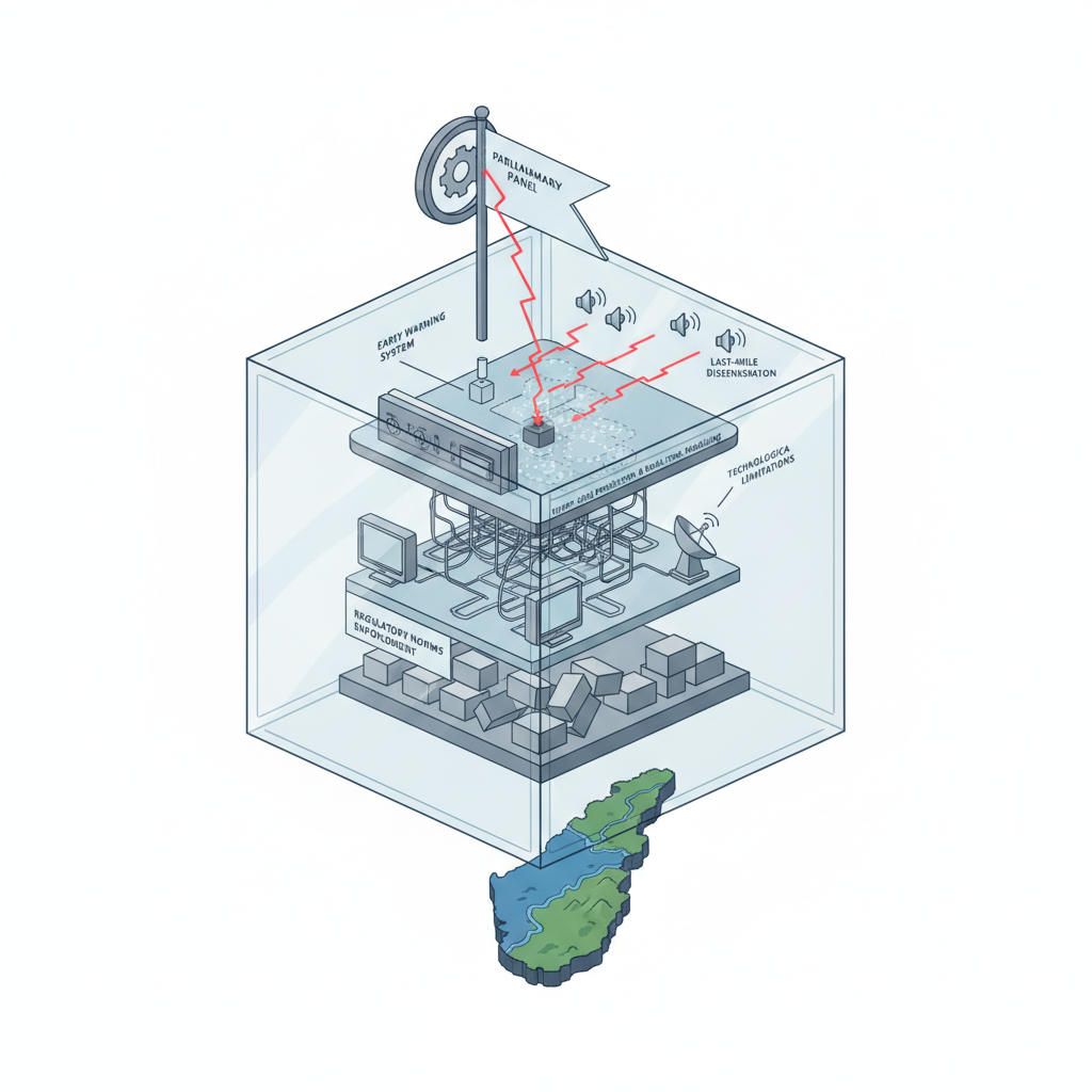
Disaster management frameworkEarly warning systemsHyper-local predictionRegulatory enforcement✎ Kerala’s disaster management framework, while lauded for its decentralised and technologically advanced approach, faces critical gaps in last-mile dissemination of early warnings, enforcement of regulatory norms, and hyper-local…
Subject Relevance — Where This Topic Fits
- GS Paper II — Governance, Constitution, Polity, Social Justice and International Relations (Disaster Management as a component of governance) | GS Paper III — Disaster and Disaster Management (Including Disaster Risk Reduction and Climate Change Adaptation)
- Prelims: Disaster Management Act, 2005, National Disaster Management Authority (NDMA), State Disaster Management Authority (SDMA), Kerala State Disaster Management Authority (KSDMA), KaWaCHaM system, Orange Book, Aapda Mitra scheme, Landslide Early Warning Systems (LEWS), Coastal Regulation Zone (CRZ) Notification, Western Ghats Ecology Expert Panel (WGEEP) recommendations
- Essay: The interplay of climate change and disaster resilience: Lessons from Kerala’s vulnerability to extreme weather events, Decentralisation in disaster governance: Evaluating the efficacy of local self-government institutions in risk mitigation
Quick Revision: Kerala’s disaster management framework, while lauded for its decentralised and technologically advanced approach, faces critical gaps in last-mile dissemination of early warnings, enforcement of regulatory norms, and hyper-local prediction capabilities, necessitating urgent systemic reforms to enhance resilience.
Why is this in the news?
A Department-related Parliamentary Standing Committee on Home Affairs has, in August 2026, flagged critical gaps in Kerala’s disaster management framework despite the State’s recurrent exposure to multi-hazard disasters such as floods, landslides, coastal erosion, lightning, and cyclonic events. The committee’s report, tabled in the Rajya Sabha, highlights persistent deficiencies in the last-mile dissemination of early warnings, technological limitations in hyper-local prediction and real-time modelling, and uneven enforcement of regulatory norms, underscoring the urgent need for systemic reforms to enhance disaster resilience in one of India’s most disaster-prone States.
Background
- Kerala, located in the south-western coast of India, is characterised by a narrow coastal belt, dense river network, and the ecologically fragile Western Ghats, rendering it highly vulnerable to multiple hydro-meteorological hazards.
- The State has experienced recurrent extreme weather events in recent years, including the devastating 2024 Wayanad landslides, and frequent coastal inundation events, reflecting the intensifying impacts of climate change.
- Kerala’s disaster management framework is anchored in the Disaster Management Act, 2005, which mandates the establishment of National, State, District, and Local Self-Government (LSG) level authorities for disaster preparedness, response, and recovery.
- The State has adopted a decentralised approach to disaster management, with Disaster Management Plans prepared at the State, district, and LSG levels, and updated annually through the ‘Orange Book’, an operational document integrating response strategies and financial provisions.
- Kerala has developed advanced early-warning systems, which integrates multi-hazard alerts for floods, landslides, storms, and tsunamis, supported by GIS-based hazard mapping and remote sensing technologies.
- Community-based disaster risk reduction initiatives, such as the Aapda Mitra scheme and large-scale voluntarism, have played a significant role in enhancing local resilience and response capacities.
What is Kerala’s Disaster Management Framework?
- Kerala’s disaster management framework is a multi-tiered institutional structure established under the Disaster Management Act, 2005, comprising the Kerala State Disaster Management Authority (KSDMA) at the State level, District Disaster Management Authorities (DDMAs) at the district level, and Local Self-Government (LSG) units at the grassroots level.
- The framework operates on the principles of decentralisation, multi-hazard risk assessment, and community participation, with Disaster Management Plans prepared at each administrative level and reviewed after every major disaster.
- The ‘Orange Book’ serves as the operational backbone of Kerala’s disaster management framework, integrating response strategies, financial provisions, departmental responsibilities, and standard operating procedures (SOPs) for various hazards.
- Early-warning systems leverage advanced technologies such as GIS-based hazard mapping, remote sensing, flood-inundation modelling, and landslide early-warning systems to provide real-time alerts and risk communication.
- Community-based disaster risk reduction is a cornerstone of the framework, with initiatives like the Aapda Mitra scheme training volunteers in disaster response and preparedness, and large-scale voluntarism enhancing local resilience.
- Regulatory enforcement, including building regulations, land-use planning norms, and Coastal Regulation Zone (CRZ) provisions, is a critical component aimed at mitigating disaster risks, though the committee noted uneven implementation at the local level.
- Kerala’s unique geographical setting, characterised by high population density, environmental degradation, and urban encroachment in ecologically sensitive areas, exacerbates disaster risks, necessitating integrated risk reduction strategies.
- The framework also incorporates climate change adaptation measures, recognising the increasing frequency and intensity of extreme weather events in the State.
Key Features
| Feature | Significance |
|---|---|
| Decentralised Disaster Management Plans (DDMP) | Ensures localised preparedness and response, integrating State, district, and LSG levels with annual updates via the ‘Orange Book’. |
| Kerala Warning, Crisis and Hazard Management (KaWaCHaM) System | Integrates multi-hazard alerts (floods, landslides, storms, tsunamis) for real-time dissemination, enhancing early warning efficacy. |
| GIS-based Hazard Mapping | Provides spatial data on disaster-prone areas, aiding in targeted mitigation and resource allocation. |
| Community Volunteers (Aapda Mitra) | Strengthens grassroots response through trained volunteers, fostering community resilience and rapid action. |
| Annual Review of Disaster Management Plans | Ensures continuous improvement by incorporating lessons from recent disasters and updating operational strategies. |
Why it Matters
Economic
- Disaster resilience reduces economic losses from recurrent extreme weather events, safeguarding Kerala’s tourism and agricultural sectors.
Strategic
- Robust disaster management frameworks enhance national security by minimising disruptions to critical infrastructure and supply chains.
Environmental
- Addressing environmental degradation and unplanned urbanisation mitigates long-term disaster risks, particularly in ecologically fragile zones like the Western Ghats.
Social
- Effective early warning systems and community engagement reduce human casualties and displacement, ensuring equitable disaster response.
Challenges
1. Last-Mile Dissemination of Early Warnings
- Technological limitations hinder hyper-local weather predictions and real-time flood-inundation modelling in remote areas.
- High population density and urban encroachment in hazard-prone zones exacerbate vulnerability to delayed or missed alerts.
UPSC Link: GS III: Disaster Management
2. Enforcement of Regulatory Norms
- Uneven implementation of building regulations, land-use planning, and coastal regulation provisions at the local level increases disaster risks.
- Encroachment in ecologically sensitive areas, such as riverbanks and coastal zones, amplifies hazard exposure.
UPSC Link: GS III: Disaster Management
3. Technological Gaps in Hazard Prediction
- Limited accuracy in landslide early-warning systems and flood modelling restricts proactive disaster mitigation.
- Dependence on conventional methods rather than advanced technologies like remote sensing and AI-driven analytics.
UPSC Link: GS III: Science & Technology
4. Public Awareness and Preparedness
- Inadequate dissemination of multi-hazard warning systems leads to low community awareness and preparedness.
- Voluntarism, while commendable, requires structured training and integration with formal disaster management frameworks.
UPSC Link: GS III: Disaster Management
5. Geographical Vulnerability
- Kerala’s narrow coastal belt, dense river network, and fragile Western Ghats create overlapping hazard exposures during monsoon periods.
- Approximately 14.5% of the State is flood-prone, 14.4% is landslide-prone, and over 50% of the coastline is vulnerable to coastal hazards.
UPSC Link: GS I: Geography
Challenges — UPSC Perspective
| Issue | Concern |
|---|---|
| Hyper-local weather prediction | Lack of advanced meteorological infrastructure limits accurate forecasting in remote and landslide-prone areas. |
| Real-time flood-inundation modelling | Inadequate technological integration delays critical flood risk assessments and response planning. |
| Land-use planning norms | Weak enforcement of zoning regulations leads to unchecked urbanisation in high-risk zones. |
| Coastal regulation provisions | Encroachment and unsustainable development in coastal areas increase vulnerability to cyclonic events and tidal flooding. |
| Community volunteer integration | Informal voluntarism lacks structured coordination with official disaster management agencies. |
| Multi-hazard warning systems | Insufficient public education on warning signals and response protocols reduces community resilience. |
Government Initiatives — Must-Memorise for Prelims
- National Disaster Management Plan (NDMP) 2019
- National Cyclone Risk Mitigation Project (NCRMP)
- National Landslide Risk Management Strategy (NLRMS)
- National Flood Management Programme (NFMP)
Way Forward
- Strengthen hyper-local weather prediction systems by integrating AI and remote sensing technologies for real-time hazard monitoring.
- Enhance last-mile dissemination of early warnings through community-based alert networks and mobile-based notification systems.
- Implement stricter enforcement of building regulations, land-use planning, and coastal regulation norms with periodic audits at the local level.
- Develop GIS-based hazard maps for all districts, integrating them with urban planning and infrastructure development policies.
- Conduct annual multi-stakeholder drills and simulations to test the efficacy of disaster management plans and community preparedness.
- Establish a dedicated fund for technological upgrades in landslide early-warning systems and flood modelling.
- Promote public awareness campaigns on multi-hazard warning systems, targeting vulnerable communities in remote and high-risk areas.
- Foster public-private partnerships to leverage advanced technologies and resources for disaster resilience.
UPSC Value Addition
Keywords for Mains Answer-Writing
Disaster Management Framework in India · Last-mile dissemination of early warnings · Kerala’s vulnerability to multiple hazards · Disaster Management Plans at State, District, and Local Self-Government levels · KaWaCHaM system for multi-hazard alerts · GIS-based hazard mapping and remote sensing · Community-based disaster risk reduction · Aapda Mitra volunteers · Coastal Regulation Zone (CRZ) norms · Landslide early-warning systems · Flood-inundation modelling · Decentralised disaster governance · Public awareness on multi-hazard warning systems · National Disaster Management Authority (NDMA)
Constitutional & Policy Linkages
- Article 243G: Empowers Local Self-Governments (LSGs) to manage local disasters under the 73rd and 74th Amendments.
Concept Flow
Intense monsoon rainfall → Saturated soil conditions → Increased landslide and flood risk → Delayed or missed early warnings → Human casualties and infrastructure damage → Post-disaster recovery and reconstruction → Lessons incorporated into annual updates of disaster management plans → Enhanced preparedness for future events.
Prelims Practice Questions
Q1. Consider the following statements regarding Kerala’s disaster management framework:
1. Kerala’s disaster management plans are prepared at the State, District, and Local Self-Government (LSG) levels.
2. The ‘Orange Book’ is an operational document that integrates response strategies, financial provisions, and departmental responsibilities.
3. The KaWaCHaM system is a centralised early-warning system managed by the National Disaster Management Authority (NDMA).
How many of the above statements are correct?
- Only one
- Only two
- All
- None
Answer: Only two — Statements 1 and 2 are correct as per the report. Statement 3 is incorrect because KaWaCHaM is a State-specific system, not managed by NDMA.
Q2. Assertion (A): Kerala’s geographical setting, characterised by a narrow coastal belt, dense river network, and ecologically fragile Western Ghats, results in overlapping hazard exposures.
Reason (R): The State’s high population density and environmental degradation exacerbate disaster risks in Kerala.
In the context of the above statements, which of the following is correct?
- Both A and R are true, and R is the correct explanation of A.
- Both A and R are true, but R is not the correct explanation of A.
- A is true, but R is false.
- A is false, but R is true.
Answer: Both A and R are true, but R is not the correct explanation of A. — Both A and R are true, and R correctly explains the heightened disaster risks in Kerala due to its unique geography and human activities.
Q3. Which of the following technologies is NOT mentioned in the report as part of Kerala’s advanced early-warning and monitoring systems?
- GIS-based hazard mapping
- Remote sensing
- Flood modelling
- Nuclear magnetic resonance (NMR) spectroscopy
Answer: Nuclear magnetic resonance (NMR) spectroscopy — Nuclear magnetic resonance (NMR) spectroscopy is not relevant to disaster management and is not mentioned in the report.
Mains Practice Question
✍ Kerala’s disaster management framework, while lauded for its decentralised approach and advanced early-warning systems, continues to face critical gaps in last-mile dissemination of warnings and enforcement of regulatory norms. Critically examine the structural and institutional challenges in Kerala’s disaster risk reduction strategy, with reference to the recent Parliamentary Standing Committee report. (15 Marks)
Approach: MODEL-ANSWER SKELETON:
1. **Introduction (2 Marks)**: Define disaster risk reduction (DRR) and Kerala’s vulnerability to multiple hazards (floods, landslides, coastal erosion, cyclones, lightning). Highlight the significance of the Parliamentary Standing Committee report (2026) and its key findings.
2. **Decentralised Framework and Strengths (3 Marks)**:
– Discuss Kerala’s decentralised disaster management plans at State, District, and Local Self-Government (LSG) levels.
– Explain the role of the ‘Orange Book’ as an operational document integrating response strategies, financial provisions, and departmental responsibilities.
– Highlight the KaWaCHaM system for multi-hazard alerts and technologies like GIS-based hazard mapping, remote sensing, and landslide early-warning systems.
– Mention the role of community volunteers (Aapda Mitra) and voluntarism in disaster response.
3. **Critical Gaps and Challenges (5 Marks)**:
– **Last-mile dissemination**: Identify gaps in early warning dissemination in landslide-prone and remote areas, including technological limitations in hyper-local weather prediction and real-time flood-inundation modelling.
– **Regulatory enforcement**: Discuss uneven enforcement of building regulations, land-use planning norms, and Coastal Regulation Zone (CRZ) provisions at the local level.
– **Environmental degradation**: Explain how high population density, urban encroachment in ecologically sensitive areas, and environmental degradation exacerbate disaster risks.
– **Overlapping hazard exposures**: Analyse Kerala’s unique geography (narrow coastal belt, dense river network, Western Ghats) leading to overlapping hazards during monsoon periods.
4. **Comparative Perspective and Way Forward (3 Marks)**:
– Compare Kerala’s DRR strategy with the National Disaster Management Authority (NDMA) guidelines and the Sendai Framework for Disaster Risk Reduction (2015–2030).
– Suggest measures: Strengthening public awareness on multi-hazard warning systems, enhancing technological capabilities for hyper-local predictions, and ensuring strict enforcement of regulatory norms.
– Highlight the role of community-based disaster risk reduction and the need for integrated, multi-hazard approaches.
5. **Conclusion (2 Marks)**: Summarise the critical gaps while acknowledging Kerala’s strengths. Emphasise the need for a balanced approach combining technology, governance, and community participation to build resilience.
Source: The Hindu
Generated by AanyaAi for educational purpose.

- Hyderabad’s 4 Police Commissionerates: Why the Latest Rejig Matters for UPSC - October 5, 2026
- सुप्रीम कोर्ट में सीईसी के एकतरफा निर्णयों पर चुनौती, जानिए पूरा मामला - October 5, 2026
- UPSC Alert: India-Bangladesh Methanol Cargo Flagged Off from Dibrugarh - October 5, 2026

No Comments