


11 Aug PM GatiShakti Master Plan: Transforming India’s Infrastructure Planning & Connectivity
PM GatiShakti NMPIntegrated planning frameworkMulti-modal connectivityProject pipeline✎ PM GatiShakti NMP is a governance framework that integrates infrastructure planning across sectors and jurisdictions using geospatial data, ensuring multi-modal connectivity and reducing logistics costs without additional…
Subject Relevance — Where This Topic Fits
- GS Paper II — Governance, Constitution, Polity, Social Justice and International Relations (Infrastructure Governance) | GS Paper III — Infrastructure: Energy, Ports, Roads, Railways, Airports; Investment Models; Logistics Efficiency
- Prelims: GatiShakti NMP, National Logistics Policy, PM GatiShakti Platform, Network Planning Group, Logistics Cost as % of GDP, Sagarmala, Bharatmala, Dedicated Freight Corridors, Industrial Corridors, PM GatiShakti Public Platform
- Essay: Infrastructure as a Catalyst for Inclusive Growth: The PM GatiShakti Paradigm, Logistics Efficiency and Competitiveness: India’s Journey Towards a $5 Trillion Economy
Quick Revision: PM GatiShakti NMP is a governance framework that integrates infrastructure planning across sectors and jurisdictions using geospatial data, ensuring multi-modal connectivity and reducing logistics costs without additional budgetary allocation.
Why is this in the news?
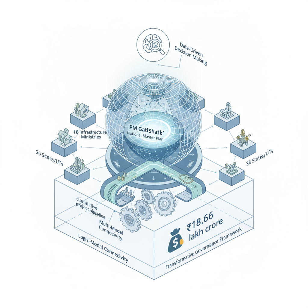
The Press Information Bureau (PIB) has highlighted the operationalisation of the PM GatiShakti National Master Plan (NMP) as a transformative governance framework that enables integrated and coordinated infrastructure planning across ministries, departments, and sub-national governments. The update underscores the platform’s role in facilitating data-driven decision-making, seamless multi-modal connectivity, and improved logistics efficiency, with a cumulative project pipeline of ₹18.66 lakh crore evaluated to date.
Background
- Launched in October 2021, the PM GatiShakti NMP is a whole-of-government initiative aimed at overcoming siloed infrastructure planning by integrating 18 infrastructure ministries and all 36 states/UTs into a unified planning framework.
- The initiative addresses structural inefficiencies in India’s logistics sector, where logistics costs were estimated at 7.9% of GDP in 2025—comparable to advanced economies—despite lower per-capita infrastructure density.
- Prior to GatiShakti, infrastructure projects were often planned in isolation, leading to sub-optimal resource allocation, delayed clearances, and fragmented connectivity, particularly in hinterland regions.
- The framework builds on earlier connectivity initiatives such as Sagarmala (ports), Bharatmala (roads), Dedicated Freight Corridors (rail), and Industrial Corridors, while introducing a digital-first approach to planning.
- The National Logistics Policy (2022) and initiatives like ‘Pragati’ (Project Monitoring Group) complement GatiShakti by focusing on procedural reforms and multi-modal integration.
- Academic and institutional studies, including those by NCAER and IIM Bangalore, have quantified the macroeconomic impact of infrastructure investments, reinforcing the need for integrated planning.
What is the PM GatiShakti National Master Plan (NMP)?
- A holistic, data-driven governance framework launched in October 2021 to integrate planning and implementation of infrastructure projects across ministries, departments, and sub-national governments.
- Operates as a ‘whole-of-government’ initiative, bringing together various central Ministries/Departments and States/Union Territories under a single planning umbrella.
- Utilises geospatial data, satellite imagery, and API integrations to enable real-time monitoring, planning, and optimisation of infrastructure development.
- Facilitates seamless multi-modal connectivity by synchronising road, rail, ports, aviation, energy, telecom, and industrial corridor projects to reduce transit times and improve last-mile access.
- Functions as an integrated planning framework without separate budgetary allocations; projects are approved and implemented under existing schemes, processes, and financial provisions of respective ministries/departments.
- The Network Planning Group (NPG), constituted under GatiShakti, evaluates major infrastructure projects for integrated planning, multi-modality, inter-modality, and data-driven decision-making.
- As of August 2026, 396 projects worth ₹18.66 lakh crore have been evaluated by the NPG, with 256 approved and 198 under implementation.
Key Features
| Feature | Significance |
|---|---|
| Holistic Government Approach | Integrates 58 central ministries, 36 states/UTs, and all infrastructure sectors (roads, railways, ports, aviation, etc.) under a unified planning framework to eliminate siloed decision-making. |
| Geospatial Data Integration | Uses satellite imagery, GIS, and API linkages to enable real-time monitoring, spatial planning, and data-driven infrastructure development. |
| Network Planning Group (NPG) | Evaluates 396 projects (₹18.66 lakh crore) for multi-modal connectivity, inter-ministerial coordination, and end-to-end project viability. |
| PM GatiShakti Public Platform | Provides open-access analytics to private entities and citizens, enhancing transparency and stakeholder participation in infrastructure planning. |
| Logistics Cost Reduction | Aims to align India’s logistics cost (7.9% of GDP) with advanced economies, improving trade competitiveness and ease of doing business. |
Why it Matters
Economic Efficiency
- Reduces logistics costs and turnaround time through integrated multi-modal transport networks (e.g., Dedicated Freight Corridors, expressways).
- Enhances GDP multiplier effect of infrastructure spending (e.g., ₹1 spent on NH projects generates ₹3.2 in GDP).
- Improves domestic manufacturing competitiveness and export potential by streamlining supply chains.
Strategic Infrastructure Development
- Facilitates last-mile connectivity in remote and hilly regions via synchronized planning of roads, railways, and air cargo routes.
- Supports industrial corridor development and urban-rural integration through spatial data analytics.
- Accelerates port-led growth under Sagarmala and inland waterway expansion.
Governance and Institutional Reform
- Institutionalises cross-sectoral coordination via NPG, replacing ad-hoc inter-ministerial committees with structured evaluation.
- Leverages technology (GIS, APIs) to minimise bureaucratic delays and improve project prioritisation.
- Promotes evidence-based policymaking through periodic reviews by NCAER, IIMs, and other research bodies.
Regional Equity
- Ensures balanced development across states/UTs by aligning central schemes with local needs (e.g., North-East connectivity, island logistics).
- Reduces regional disparities in infrastructure access through data-driven resource allocation.
Challenges
1. Data Standardisation and Interoperability
- Fragmented data systems across ministries/agencies hinder seamless GIS-API integration.
- Need for unified metadata standards to ensure consistency in spatial planning and project tracking.
UPSC Link: GS-III: Infrastructure (Data Governance)
2. Implementation Bottlenecks
- Land acquisition delays and environmental clearances remain critical hurdles for large-scale projects.
- Coordination failures between central and state agencies often lead to implementation gaps.
UPSC Link: GS-III: Infrastructure (Project Management)
3. Resource Mobilisation
- No dedicated budgetary allocation under PM GatiShakti; relies on existing ministry/state funds, risking underfunding.
- Private sector participation constrained by regulatory uncertainties and viability gap funding requirements.
UPSC Link: GS-III: Infrastructure (Financing Models)
4. Monitoring and Evaluation Gaps
- Lack of real-time performance metrics for projects approved under NPG, impeding corrective action.
- Need for third-party audits to assess socio-economic impact beyond financial viability.
UPSC Link: GS-III: Infrastructure (Outcome-Based Governance)
5. Digital Divide and Accessibility
- Public platform usability for non-technical stakeholders (e.g., local governments, MSMEs) requires simplification.
- Rural and tribal areas may lack digital literacy, limiting participation in planning processes.
UPSC Link: GS-II: Governance (Digital Inclusion)
Challenges — UPSC Perspective
| Issue | Concern |
|---|---|
| Data Silos | Ministries use incompatible GIS formats, delaying integrated planning. |
| Land Acquisition | Delays in R&R (rehabilitation and resettlement) stall highway/rail projects. |
| Multi-Modal Integration | Lack of standardised protocols for seamless freight transfer between modes. |
| State-Centre Coordination | Asymmetric federalism leads to policy misalignment in project execution. |
| Private Sector Incentives | Uncertain ROI discourages investment in last-mile connectivity. |
| Environmental Clearances | Overlapping regulatory approvals (e.g., forest, wildlife) add time/cost. |
Government Initiatives — Must-Memorise for Prelims
- National Logistics Policy (NLP)
- Sagarmala Programme
- Bharatmala Pariyojana
- Dedicated Freight Corridors (DFC)
- PM GatiShakti National Master Plan (PMGS-NMP)
Way Forward
- Strengthen NPG’s mandate to include post-implementation audits for approved projects.
- Develop a unified geospatial data policy to standardise APIs and metadata across ministries.
- Establish a dedicated fund (e.g., PM GatiShakti Infrastructure Fund) for catalytic projects.
- Expand the PM GatiShakti Public Platform to include multilingual interfaces and offline tools.
- Mandate state-level GatiShakti cells to align local plans with national priorities.
- Accelerate land digitisation and dispute resolution mechanisms to expedite acquisitions.
- Incentivise private sector participation via viability gap funding and tax breaks for multi-modal hubs.
UPSC Value Addition
Keywords for Mains Answer-Writing
PM Gati Shakti National Master Plan · Integrated Infrastructure Planning · Network Planning Group · Geospatial Data Analytics · Multi-modal Connectivity · Logistics Cost Reduction · Ease of Doing Business · National Logistics Policy · Sagarmala · Dedicated Freight Corridors · Inter-ministerial Coordination · Data-Driven Governance · Infrastructure Efficiency · PM Gati Shakti Public Platform
Concept Flow
Fragmented infrastructure planning → Delays, cost overruns, and siloed governance. → PM GatiShakti NMP launched (2021) → Holistic Government approach via NPG and GIS integration. → Multi-ministerial coordination → 396 projects evaluated (₹18.66 lakh crore) under NPG. → Geospatial data-driven decision-making → Optimised route planning, logistics cost reduction. → Implementation and monitoring → 256 projects approved; 198 under execution. → Outcome: Enhanced GDP growth, trade competitiveness, and regional equity.
Prelims Practice Questions
Q1. Consider the following statements regarding the PM Gati Shakti National Master Plan (NMP):
1. It is a centrally sponsored scheme with a dedicated budgetary outlay.
2. The Network Planning Group (NPG) under PM Gati Shakti evaluates multi-modal infrastructure projects.
3. The PM Gati Shakti Public Platform provides geospatial data analytics to private entities and the public.
4. The initiative aims to reduce logistics costs to below 5% of GDP.
How many of the above statements are correct?
- Only one
- Only two
- Only three
- All four
Answer: Only three — Statements 2 and 3 are correct. Statement 1 is incorrect as PM Gati Shakti does not have a separate budgetary provision. Statement 4 is incorrect as the logistics cost target is 7.9% of GDP, not below 5%.
Q2. Assertion (A): The PM Gati Shakti National Master Plan (NMP) is designed to integrate planning and implementation across multiple infrastructure sectors.
Reason (R): The initiative uses geospatial data analytics to monitor and improve infrastructure development.
In the context of the above two statements, which one of the following is correct?
- Both A and R are true, and R is the correct explanation of A.
- Both A and R are true, but R is NOT the correct explanation of A.
- A is true, but R is false.
- A is false, but R is true.
Answer: A is true, but R is false. — Both A and R are true, but R is not the sole explanation for A. While A describes the purpose of PM Gati Shakti, R highlights a tool used to achieve that purpose.
Q3. Match the following infrastructure initiatives with their primary objectives:
Column I (Initiative) Column II (Primary Objective)
A. PM Gati Shakti National Master Plan 1. Development of dedicated freight corridors and expressways
B. Sagarmala 2. Integrated planning and coordination of multi-modal connectivity
C. National Logistics Policy 3. Port-led development and coastal connectivity
D. Dedicated Freight Corridors 4. Reduction in logistics costs and ease of doing business
Select the correct match:
- A-2, B-3, C-4, D-1
- A-1, B-2, C-3, D-4
- A-3, B-4, C-1, D-2
- A-4, B-1, C-2, D-3
Answer: A-2, B-3, C-4, D-1 — A-2: PM Gati Shakti NMP focuses on integrated planning and coordination. B-3: Sagarmala aims at port-led development. C-4: National Logistics Policy targets logistics cost reduction. D-1: Dedicated Freight Corridors focus on freight movement efficiency.
Mains Practice Question
✍ The PM Gati Shakti National Master Plan (NMP) represents a paradigm shift in infrastructure governance by adopting a ‘whole-of-government’ approach. Critically examine the institutional architecture, technological tools, and outcomes of PM Gati Shakti in enhancing multi-modal connectivity and logistics efficiency in India. (15 Marks)
Approach: MODEL-ANSWER SKELETON:
1. **Institutional Architecture (4 Marks)**
– Multi-ministerial and multi-stakeholder coordination via the Network Planning Group (NPG).
– Role of the PMO in ensuring inter-ministerial synergy.
– Inclusion of all 36 States/UTs and 58 Central Ministries/Departments.
– No separate budgetary provision; integration within existing schemes.
2. **Technological Tools (4 Marks)**
– Use of geospatial data (satellite imagery, GIS) for real-time monitoring and planning.
– PM Gati Shakti Public Platform (launched September 2025) for data analytics and public access.
– API integration for seamless data exchange across ministries.
3. **Outcomes and Impact (7 Marks)**
– **Multi-modal Connectivity**: Integration of road, rail, ports, aviation, and logistics hubs (e.g., Dedicated Freight Corridors, Sagarmala, Bharatmala).
– **Logistics Efficiency**: Reduction in logistics costs to 7.9% of GDP (2025 estimate by NCAER), aligning with advanced economies.
– **Economic Multiplier Effect**: IIM Bangalore study shows 1 INR spent on NH projects yields 3.2 INR GDP growth.
– **Project Pipeline**: 396 projects evaluated (total cost ₹18.66 lakh crore); 256 approved, 198 under implementation.
– **Ease of Doing Business**: Improved turnaround time, reduced transaction costs, and enhanced industrial competitiveness.
4. **Critical Examination (Balanced View)**
– **Strengths**: Holistic planning, data-driven decision-making, and inter-ministerial coordination.
– **Limitations**: Dependence on existing budgetary allocations; challenges in real-time data integration across states.
– **Future Directions**: Expansion of PM Gati Shakti Public Platform; deeper integration with State Logistics Plans.
Source: PIB (Press Information Bureau)
Generated by AanyaAi for educational purpose.


No Comments